Met Office says this El Nino is the largest since the 19th century, raising the risk of a stormier UK autumn
Forecasters say the developing El Nino is the strongest signal they have seen, with wetter and stormier conditions likely across the UK from around November.
UK News & Politics Editor ·
Why it's trending
The Met Office published analysis on 21 August 2026 describing the developing El Nino as unprecedented in its forecast records, with sea surface temperatures in the Nino 3.4 region projected to exceed 3C above normal and wetter, stormier conditions expected across northwest Europe in autumn and early winter.
The Met Office has described the El Nino now developing in the Pacific as an unprecedented event, forecasting sea surface temperatures more than 3C above normal and warning of a wetter, stormier autumn and early winter across the UK.
Professor Adam Scaife, the Met Office's head of long range forecasting, said forecasters should be clear that this is an unprecedented event, adding that he had never seen an El Nino signal this intense in their forecasts.
A typical El Nino raises sea surface temperatures in the central Pacific by between 1C and 2C, with 2C already considered a really big event. The current forecast, produced by the Met Office's GloSea system, points to more than 3C in the Nino 3.4 region of the equatorial Pacific, which would make this the largest such event since the 19th century.
At a glance
- The Met Office forecasts sea surface temperature anomalies above 3C in the Nino 3.4 region.
- A typical El Nino produces a rise of 1C to 2C, and 2C is regarded as a very large event.
- Forecasters describe it as probably the largest El Nino since the 19th century.
- Wetter and stormier conditions are expected across northwest Europe, including the UK, in autumn and early winter.
- The strongest signal for UK impacts is expected around November.
- 2027 is very likely to replace 2024 as the warmest year on record, according to the Met Office.
What El Nino actually is
El Nino is a periodic warming of the central and eastern equatorial Pacific, occurring every few years when the trade winds that normally pile warm water into the western Pacific weaken and that warmth spreads east. The Nino 3.4 region used to measure it sits between 5 degrees south and 5 degrees north, and between 120 and 170 degrees west.
That warming shifts where the heaviest tropical rainfall occurs, and the atmosphere reorganises around it. The consequences are not confined to the Pacific, because the redistribution of tropical heat sends energy through the atmosphere in ways that reach the mid-latitudes.
How a Pacific event reaches Britain
The UK sits a long way from the equatorial Pacific, and the connection is indirect. Wave-like disturbances propagate out of the tropics and alter the behaviour of the jet stream, which is what steers Atlantic depressions towards or away from these islands.
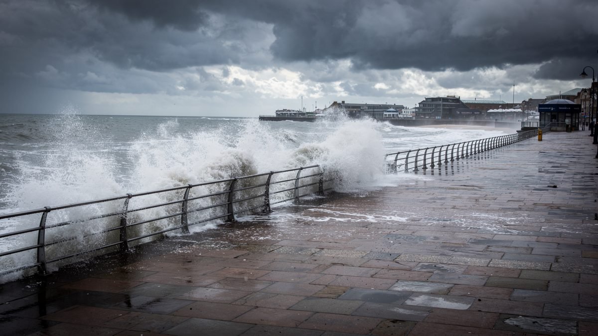
When the jet stream is stronger and aimed at northwest Europe, the result is the familiar sequence of low pressure systems arriving one after another: rain, wind and short gaps between them. The Met Office expects that signal to be at its clearest around November, as the El Nino peaks through the winter.
A forecast signal, not a forecast
It is worth being precise about what is being claimed. A seasonal outlook of this kind shifts the odds; it does not describe the weather on any particular day, and it does not rule out settled spells within a stormy season.
The reason forecasters are unusually confident about the signal is its size. Where a marginal El Nino produces a weak nudge that other factors can easily overwhelm, an event of this magnitude dominates the seasonal picture, which is precisely why the language coming out of the Met Office is stronger than usual.
The global temperature consequence
El Nino events release heat from the ocean into the atmosphere, which lifts global average temperature for a year or so afterwards. Dr Nick Dunstone of the Met Office said 2027 would very likely become the warmest year on record, displacing 2024, and would be another year to temporarily exceed 1.5C above the pre-industrial period.
That temporary exceedance is not the same as breaching the Paris Agreement threshold, which refers to a sustained long-term average. It is, however, a further indication of how little headroom remains between the underlying warming trend and the level policymakers set out to avoid.
What happens next
The event is expected to strengthen through the autumn and peak during the winter, with the Met Office updating its outlooks as the signal firms up. For the UK, the practical implications sit with flood and coastal risk planning rather than with anything households can usefully do in August.
Water companies, local authorities and the Environment Agency will be working to the same seasonal outlooks. On present forecasts, the question for autumn is less whether the rain arrives than whether it arrives on ground that is already saturated.
Sources & verification
- Met Office — primary reporting and official updates
- Reporting reviewed on 22 August 2026; figures as published at that time
Filed under UK News · Written by Eleanor Whitfield